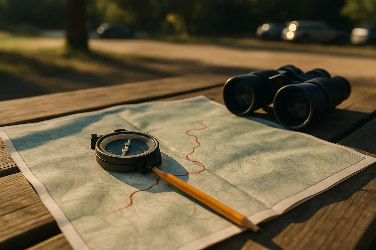
Intro to Map and Compass Navigation
This is for hikers who lean on the little blue dot until their phone dies halfway up a canyon. No signal, dead battery, a fork in the trail, and you standing there guessing. You want a backup that doesn't need charging.
We start in a flat, boring parking lot, because if you can only do this when it's pretty and calm, you can't do it. You'll learn to orient the Map to the ground, take a real bearing, deal with declination (it WILL get you), and triangulate your position off local peaks. We use trailhead maps you'd actually carry.
Bring a cheap baseplate compass if you have one. Leave able to find your car. Fry sauce is discussed. 😎
Thanks, Jason
What you'll learn
- Read a trailhead map before you hike
- Orient a map to match the landscape
- Take and follow a compass bearing accurately
- Adjust for declination between true and magnetic north
- Pinpoint your location using triangulation from landmarks
Lessons
- Why We're In A Parking Lot
We start flat and boring on purpose, get your gear sorted, and cover why the phone alone is asking for it.
- Orient The Map To The Ground First
Before any numbers, you physically turn the Map until the terrain matches, because seeing beats calculating.
- The Compass, Part By Part
We name every piece of the thing in your hand and figure out what messes with the Needle.
- Taking A Real Bearing
We take an actual bearing off a real thing, do it wrong a few times, then walk it out.
- Declination Will Get You
True north and magnetic north disagree, and if you don't build a habit for it you'll walk 40 degrees off like I did.
- Triangulation And Getting Home
You'll pin your own spot off two peaks, then put the whole thing together so you leave able to find your car.
Class discussion
More outdoors & recreation classes
Beginner Fly Fishing on Utah Rivers
with Gilbert

Dutch Oven Camp Cooking Basics
with Kelli

Fly Tying for Utah Trout Streams
with Gilbert